Tennessee River Crossings
The river is the metro's signature and its hardest working asset: the Tennessee runs pooled through town — Chickamauga's dam holding the upstream reach, Nickajack receiving the water below — carrying barge navigation past the waterfront and sweeping the famous bend before the gorge. Crossing it is TVA-world engineering: profiles set against pool elevations and navigation depths on federally managed water, entry and exit placed behind shorelines the reservoir agency regulates, and coordination running through the authorities that operate the river as a system — dam schedules, shoreline permitting, and navigation interests all named before pricing.
The stack fits managed federal water: the reservoir agency's land-and-shoreline machinery, federal navigation review on the channel, state water-quality certification on whichever bank — Tennessee's or Georgia's on the tributary side — aquatic-habitat conditions in a river system biologists treat seriously, and the road or rail owner overhead. The tributaries carry the doctrine outward: Chickamauga and South Chickamauga creeks threading the city and the Georgia line, Lookout Creek under its mountain, and the Sequatchie's storied valley river west — each with its own reach logic.
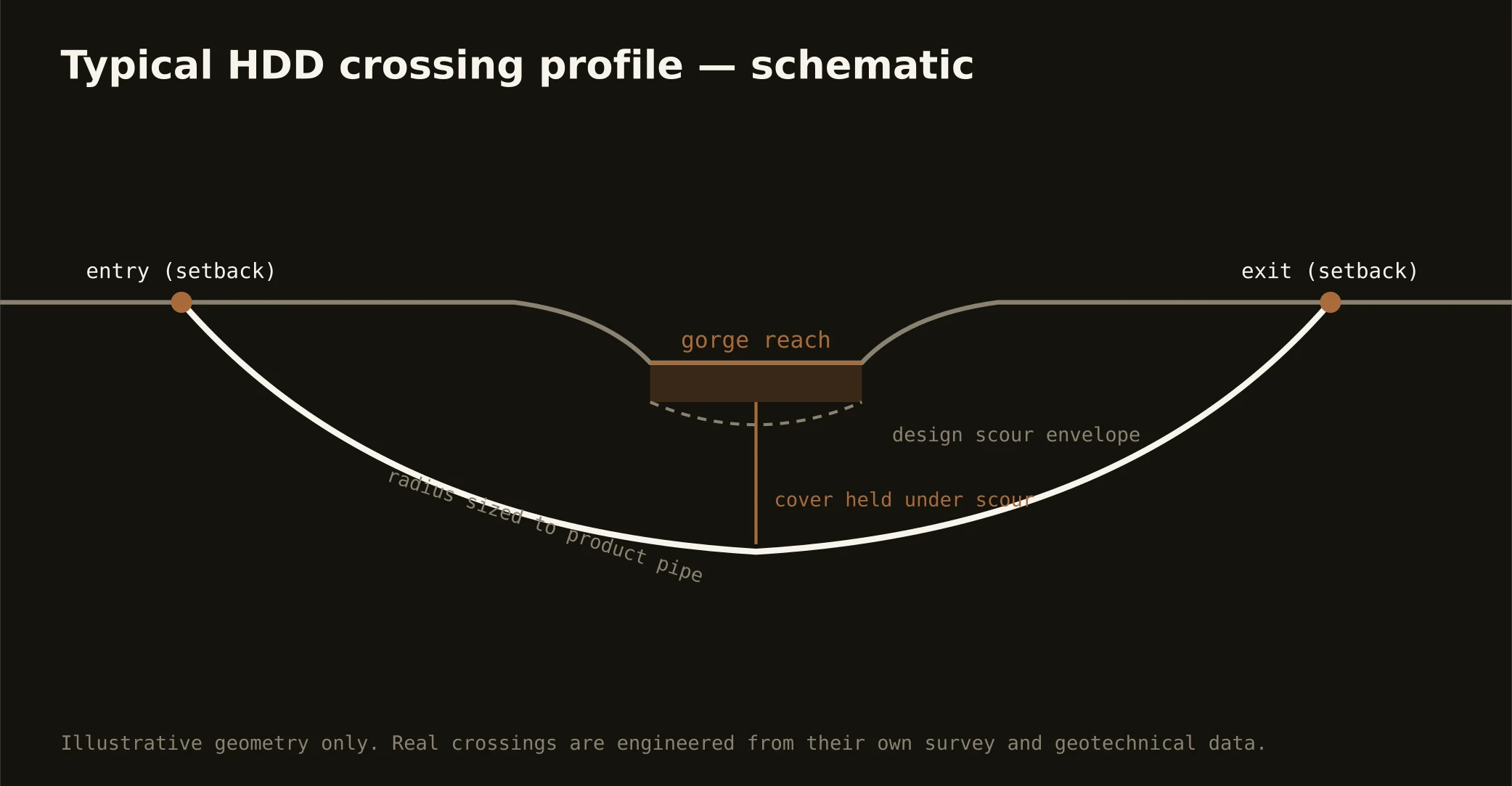
Technically these crossings read the valley's geology at its most concentrated: alluvial terraces over limestone bedrock, dissolved-rock behavior in the channel walls, and the gorge reaches where rock rises fast — geotech drives the sag, fluid programs run conservative over the karstic limestone, containment stages both banks, and the response plan is written before the pilot turns.