How Directional Drilling Works in Chattanooga Ground
Reading the benches: valley, slope, and tableland
The metro's geology stacks in benches you can see from downtown: the limestone valley floor where the city and its Georgia neighbors sit — flat-lying carbonate country with ledges at variable cover, chert-laced red residuum above, and the dissolved-rock behavior that gives limestone valleys their springs, sinks, and occasional voids; the slopes and brows, where colluvium loose with sandstone boulders skirts the mountains; and the plateau tablelands — Walden, Signal, Lookout, Sand — capped in the Cumberland's sandstone, drilling as honest hard rock. Elevation-honest quoting names the bench per reach and prices each as its own trade, because a valley number applied to a brow is how schedules fall off the mountain.
The two-state, TVA-world overlay
Two layers organize the permits. The state line: six counties across Tennessee and Georgia mean TDOT and GDOT machinery both flow through the metro's work, with the county and municipal counters between — run as one workflow with each authority named per crossing. And the river system: TVA's pools, shoreline permitting, and transmission presence make the reservoir agency a standing authority on the water corridor and a neighbor across the map. Add the freight crossroads' rail density and you have the full local curriculum — none of it exotic, all of it scope.
The sequence, Scenic City edition
The bones are standard — locates plus private designating, potholes on every claimed utility, pilot on profile, ream to about one and a half times the product, pull, restore. Scenic City bends: bench tooling staged by elevation, dissolved-rock fluid manners in the valley, boulder honesty on the slopes, pool-elevation and shoreline coordination on the river corridor, two-state paper run as one workflow, and restoration that treats brow-lot lawns, valley grids, and battlefield-country edges with their due care.
Who owns what you're crossing
The cities run their own ROW counters; six county departments cover the roads between; TDOT and GDOT permit their states' spines and the interstates. The reservoir agency governs the river's shoreline world with federal navigation review on the channel; state water-quality certification applies per bank; the national battlefield lands south carry federal-preserve manners where alignments approach them; railroads permit the crossroads' corridors; and the municipal fiber utility is a knowledgeable presence on every valley street. The quote names every owner on your alignment — here, the first questions are which bench and which state.
Straight answers
Will you hit rock on my bore?
Read your bench: valley alignments meet limestone at variable cover under red residuum — drillable with dissolved-rock manners; plateau and brow work meets the sandstone caprock as honest hard rock; the slopes between hide boulders in colluvium. The quote names the bench from the maps, and geotech turns the bench into a plan.
How deep do bores run under Chattanooga streets?
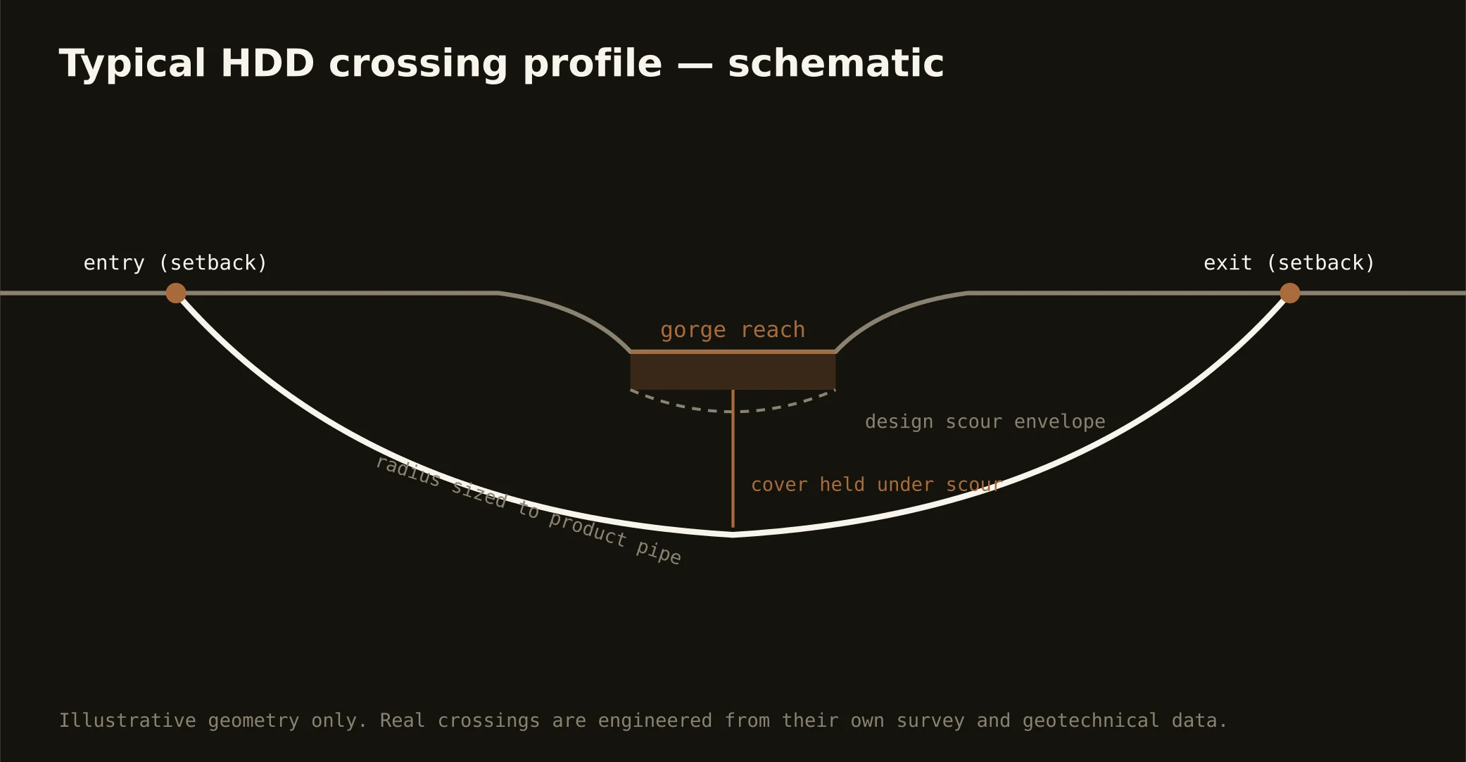
Cover follows the owning authority's standard — municipal, county, TDOT, or GDOT — and sits below everything potholed on the alignment, with river-corridor crossings running to pool and navigation criteria. In benched country depth can change the geology mid-profile, so the plan states your number and your expected ground at it.
Is the karst here a serious concern?
It's a valley-floor fact handled with manners: limestone that dissolves makes springs, sinks, and occasional voids, and the professional answer is procedural — conservative pressures, monitored returns, void-aware profiles where the ground history says so. The mountains' sandstone tops carry none of it; the quote applies the care exactly where the bench requires.
Ready to put a number on a real crossing? Send the scope — a person prices it.